


Large Scale Road Atlas 2027 Edition
Large Scale Road Atlas 2027 Edition
Large-scale maps that are easier to read
Plan confidently beyond cell service
Spiral binding keeps pages open flat
Couldn't load pickup availability

Large Scale Road Atlas 2027 Edition
I bought it for a long road trip and ended up using it every time we planned a route. The larger maps are much easier to scan when you're trying to see the bigger picture.
Description
Description
Built for travelers who want the bigger picture without depending entirely on a phone screen.
- Large-scale road maps designed for easier reading.
- Maps covering every U.S. state in the Large Scale edition.
- More than 350 detailed city inset and national park maps.
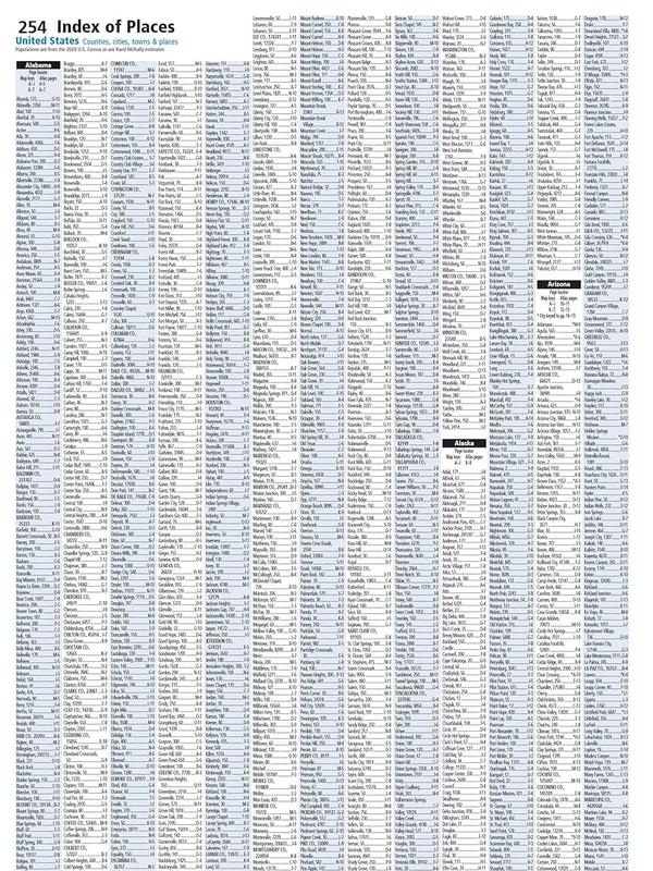
- Comprehensive, unabridged index for finding destinations and roads.
- Road construction projects and updates highlighted above the maps.
- Mileage chart with distances between 77 North American cities and national parks, plus a driving-times map.
Specifications
Specifications
- Edition: 2027 Large Scale Road Atlas
- Format: Spiral-bound
- Language: English
- Coverage: United States, with the cover also referencing Canada and Mexico
- Map size: 35% larger than the standard atlas version, according to the Large Scale edition description
- Additional mapping: 350+ detailed city inset and national park maps
- Binding: Tough spiral binding designed to let the book lay open easily
Shipping + Returns
Shipping + Returns
Collecta's current shipping and return policies apply to every order.
- Shipping: See the checkout page for the available delivery options and timing for your address.
- Returns: Return eligibility and instructions are governed by Collecta's current return policy.
- Guarantee: Collecta currently offers a 30-day money-back guarantee.



See More Without Squinting
The Large Scale edition makes every trip easier to scan at a glance, with maps 35% larger than the standard atlas version. You can spread out a route, compare roads, and keep moving without constantly pinching and zooming a phone.

Plan Beyond the Signal
When reception is weak, the route is still right there in your hands. The atlas combines state maps, detailed city and national park insets, an unabridged index, construction updates, and mileage information for trip planning.
Frequently Asked Questions
Is this the 2027 edition?
Is this the 2027 edition?
Yes. This product is the Large Scale Road Atlas 2027 Edition.
Are the maps actually larger than a standard atlas?
Are the maps actually larger than a standard atlas?
The Large Scale edition is described as having maps 35% larger than the standard atlas version, making route details easier to read at a glance.
What areas does it cover?
What areas does it cover?
The source describes maps for every U.S. state; the 2027 cover also identifies United States, Canada, and Mexico.
Does it include city and national park maps?
Does it include city and national park maps?
Yes. The Large Scale edition description includes more than 350 detailed city inset and national park maps.
Can I use it when cell or GPS service is poor?
Can I use it when cell or GPS service is poor?
Yes. It is a physical road atlas, so route planning does not depend on an active phone signal or GPS connection.
Does the binding stay open?
Does the binding stay open?
The source describes a tough spiral binding designed to let the book lay open easily.
What is Collecta's return or guarantee policy?
What is Collecta's return or guarantee policy?
Collecta's current policy applies to returns and shipping, and Collecta currently offers a 30-day money-back guarantee.